Our Communities
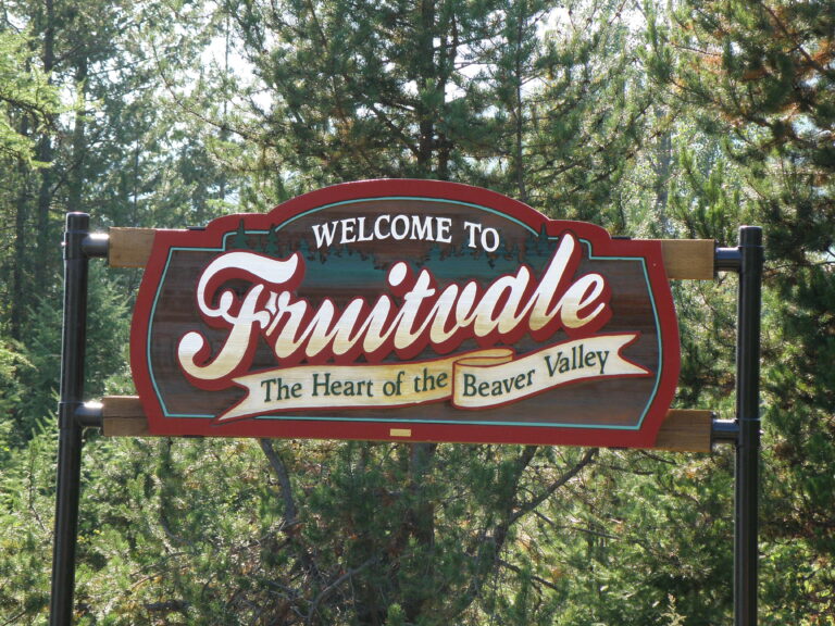
Fruitvale was originally named ‘Beaver Siding’ in 1893 as a railway stop for the Nelson and Fort Sheppard Railway (later acquired by the Great Northern Railroad). In 1906, Fruitvale Limited purchased a great deal of land on both sides of this stop and changed the name to Fruitvale in a bid to attract settlement in the area. Although the community is over 100 years old, Fruitvale was formally incorporated as a Village on November 4, 1952. Fruitvale has now blossomed into a full service bedroom community of approximately 2,000 people, offering a small town, rural setting with many services and amenities for residents who work and play throughout the region.
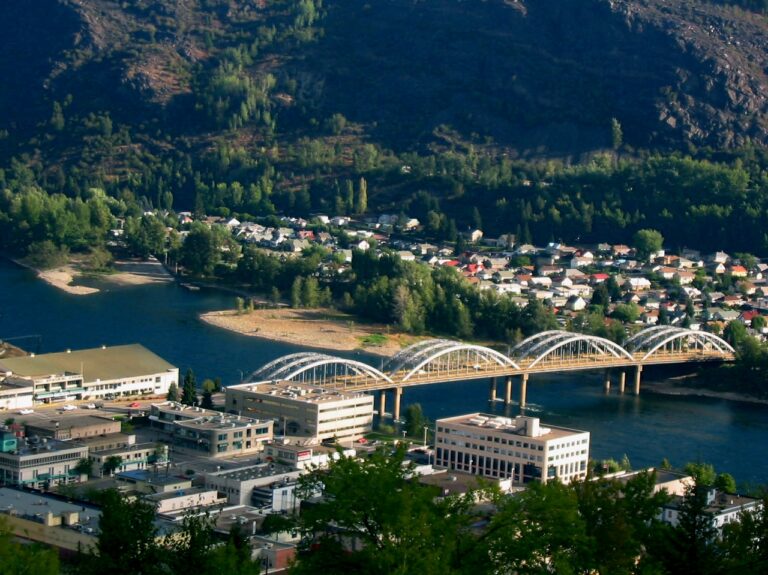
The City of Trail was settled in the 1890’s in support of the developing gold/copper mines in Rossland. In 1895 a small smelter called the BC Smelting and Refining Company was constructed at Trail Creek to refine the ores from the Rossland mines. Over the years, the small smelter grew into one of the world’s largest metallurgical complexes, as well as one of the region’s largest employers. The City of Trail, also known as “the Silver City”, is nestled along the mighty Columbia River and is home to over 7,700 residents. Trail also boasts a vibrant amateur sports community with a long history of excellence that earned it BC’s Sports Town in the 1990’s.
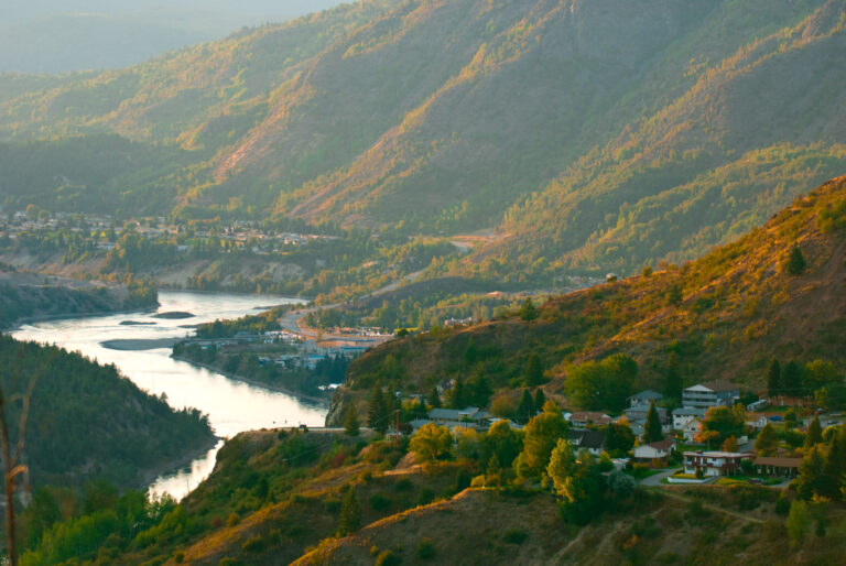
In 1942 Leon Simmons developed Woods Flats, an area of about 220 acres situated above the Columbia River east of Trail. The name Montrose was chosen after a popular place in Scotland. The land was surveyed into lots and shortly thereafter the Montrose Improvement Association was formed. The Montrose Improvement Association developed into a Council with a Chairman and four Commissioners. The Montrose Recreation Commission was formed soon after and continues today as it serves its 1,000 residents.
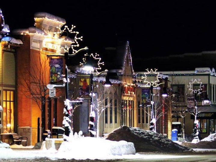
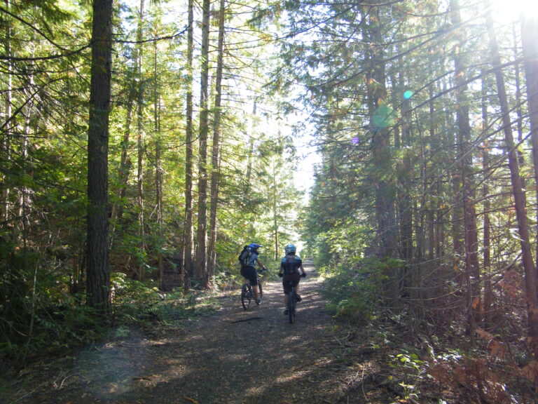
The City of Rossland is tucked high in the Monashee Mountains, at an elevation of 1023 metres (3410 feet) and a population of close to 3,800. Known as both “Canada’s Alpine City” and “Canada’s Mountain Bike Capital”, Rossland boasts an impressive trail network that is used year round. Slightly higher, Red Mountain Ski Resort’s reputation for “steep and deep” powder snow averages 760 cm (25 feet) of annual snowfall, making it an incredible tourist destination for world class skiing in winter and mountain biking in the summer.
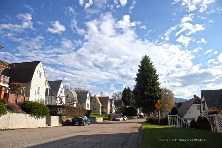
The Village of Warfield, nicknamed “Jewel of the Kootenays”, is identified by the distinct style of houses on the upper side of Warfield, known as “Mickey Mouse” houses, by the trees of the Beaver Bend Area, and by the beautiful gardens and well-kept properties of Annabel. The village was named after Carlo Warfield who was the private secretary of F.A. Heinze, the builder of the original smelter, Cominco, which is now known as Teck Metals Ltd. The Village of Warfield offers a number of community amenities that support a healthy and happy family life including an elementary school, community hall, community centennial pool, several lush parks and the natural beauty of the area
With a population of 1,890, Area ‘A’ includes the rural areas bordered on the west by the Columbia River, on the south by the Canada / U.S. Border, on the north by Champion Lakes Provincial Park and stretches east of the Village of Fruitvale. Historically, this lush area was considered the best fruit growing area in the West Kootenay. At Columbia Gardens, just north of the crossing at Waneta, you can taste the local climate and geographic conditions when you visit our emerging wineries. Electoral Area ‘B’ has a population of 1,442 people and includes the rural areas bordered on the east by the Columbia River, on the west by the Santa Rosa Summit, and on the north by the junction of Highways 3 & 3B. It includes the unincorporated communities of Genelle, Rivervale, Oasis, Casino, Blackjack, South Belt, Sheep Creek and Patterson.
Municipality Contacts:
City of Trail
1394 Pine Avenue Trail, BC V1R 4E6
Phone: (250) 364-1262
www.trail.ca
City of Rossland
1899 Columbia Avenue Rossland, BC V0G 1Y0
Phone: (250) 362-7396
www.rossland.ca
Village of Fruitvale
1947 Beaver Street Fruitvale, BC V0G 1L0
Phone: (250) 367-7551
www.villagefruitvale.bc.ca
Village of Montrose
565 11 Avenue 565 11 Avenue Montrose, BC V0G 1P0
Phone: (250) 367-7234
www.montrose.ca
Village of Warfield
555 Schofield Highway Trail, BC V1R 2G7
Phone: (250) 368-8202
www.warfield.ca
Regional District of Kootenay Boundary
Area A&B:
202- 843 Rossland Avenue Trail, BC V1R 4S8
Phone: (250) 364-9148
www.rdkb.com


