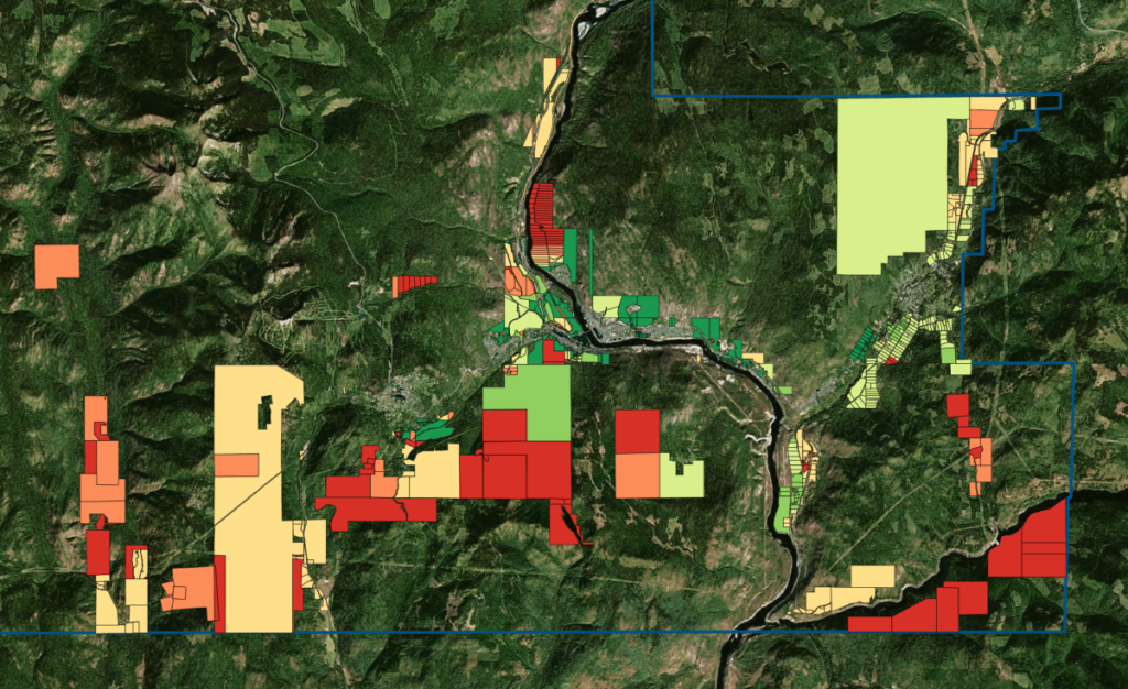
Welcome to the LCIC's Land Inventory Mappping System
Developed over two years with support from researchers at Selkirk Innovates, and in partnership with TruGIS, these maps are designed to facilitate effective planning and management of industrial, commercial, and agricultural lands.
They integrate parcel development potentials, filters, display options, and GIS analysis to create a system that advances local land management strategies. Access to these maps is restricted based on the levels of detail they provide. You may view the public map as a guest, or sign in after launching the map to view protected versions.